Home > Family history > Ireland > Huggins > Map of Lower Dungannon (1901)
End notes :
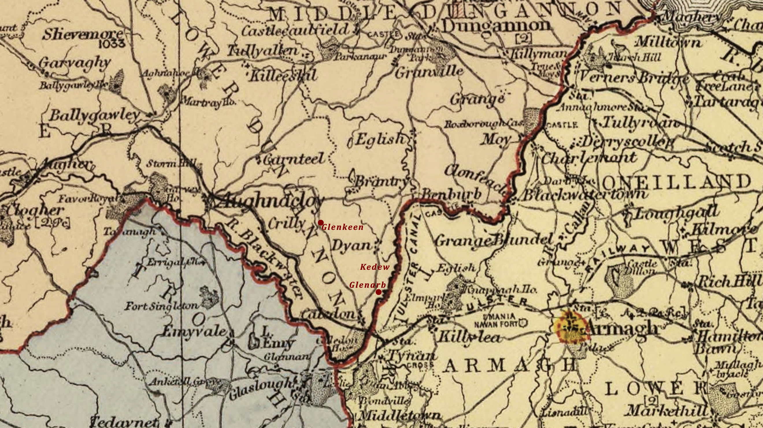
Source citation for this page: Arborealis “Map of the barony of Lower Dungannon in county Tyrone, 1901.” Excerpt from Stanford’s London atlas of universal geography exhibiting the physical and political divisions of the various countries of the world. Folio edition. One hundred maps, with a list of latitudes and longitudes. 2nd issue, rev. & enlarged. London: Edward Stanford, Geographer to Her Majesty, 12, 13 & 14 Long Acre, W.C. 1901. Adapted & ed. by Alison Kilpatrick ©2020. Published to Arborealis, online at arborealis.ca/family-history/irish/huggins/map-lower-dungannon/, accessed [insert date].
All rights reserved. Alison Kilpatrick ©2020.
Published 3rd Jan. 2024.