Arborealis

[ arbor : tree ] + [ borealis : northern ]


Map of the southern portion of county Tyrone (1790)

Home > Family history > Ireland > Huggins of Glenarb > Map of southern portion of county Tyrone, 1790

Map of the southern portion of county Tyrone (1790), excerpt of a map of the Kingdom of Ireland by John Rocque.
Source: A map of the Kingdom of Ireland (part), by John Rocque (1790), edited by Alison Kilpatrick 2023. A red dot highlights the approximate location of Glenarb townland, while keeping Caledon, Aughnacloy, Killishell [var. Killeshil], Binburb [var. Benburb], Blackwatertown, Dungannon, and the ancient city of Armagh in the frame.

End notes :

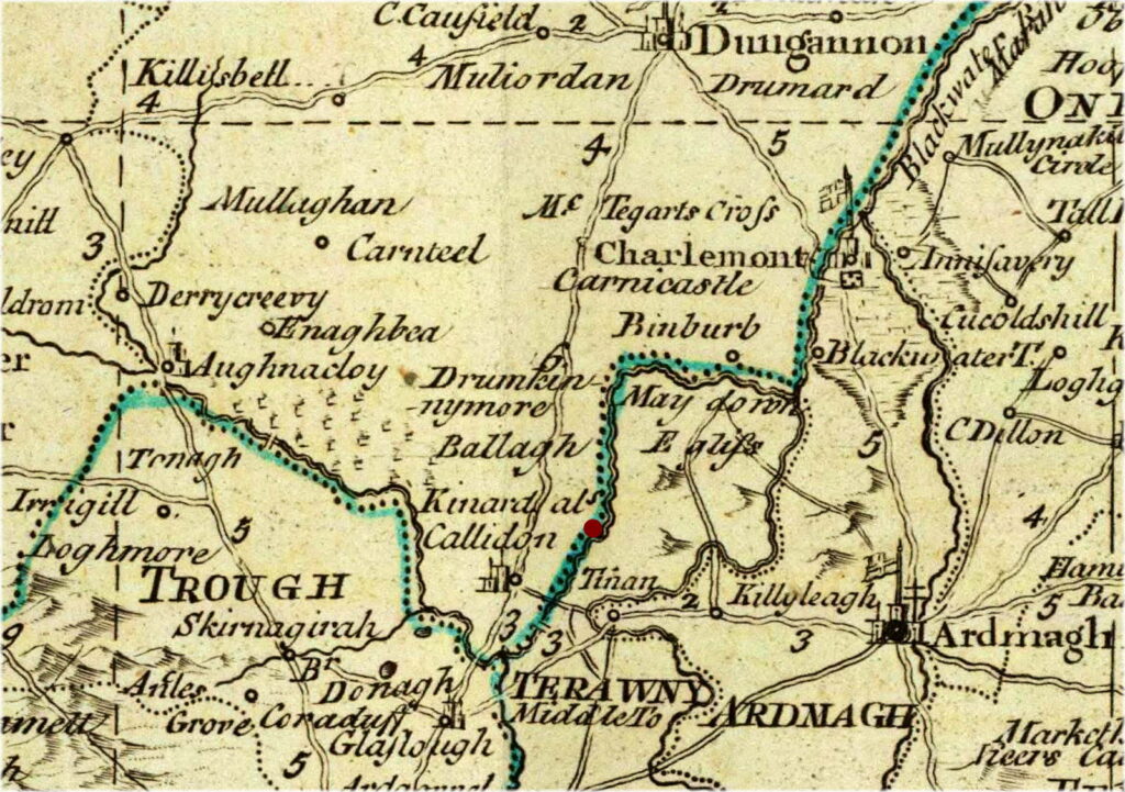
Source citation for this page: Arborealis. “Map of the southern portion of county Tyrone (1790).” Extract of “A map of the Kingdom of Ireland,” by John Rocque (1790), edited by Alison Kilpatrick, 2023. Published to Arborealis, online at arborealis.ca/family-history/irish/huggins/map-southern-tyrone-1790/, accessed [insert date].

All rights reserved. Alison Kilpatrick ©2024.

Published 3rd Jan. 2024.